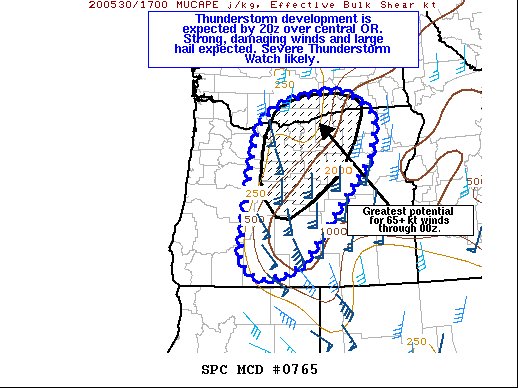
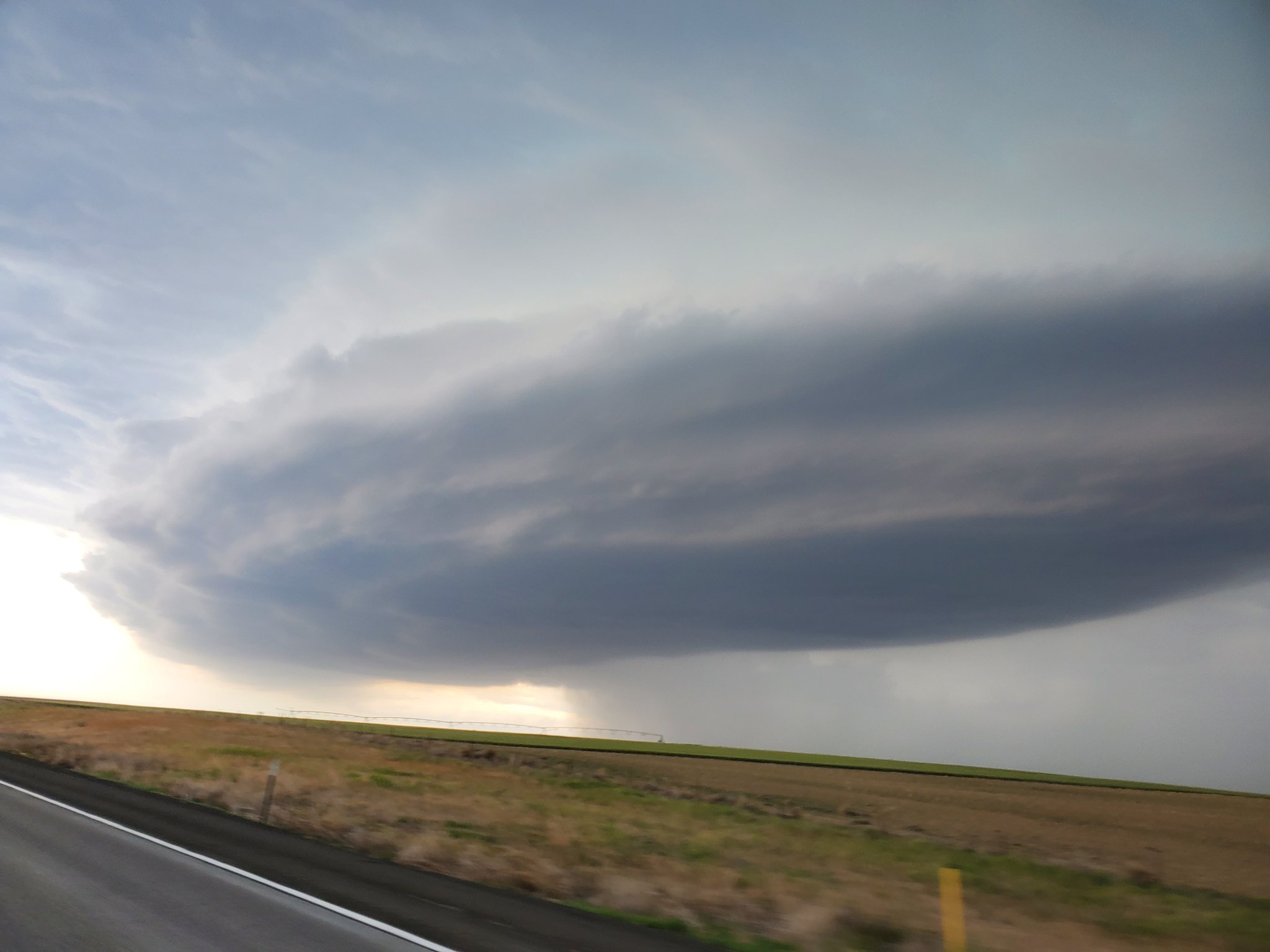
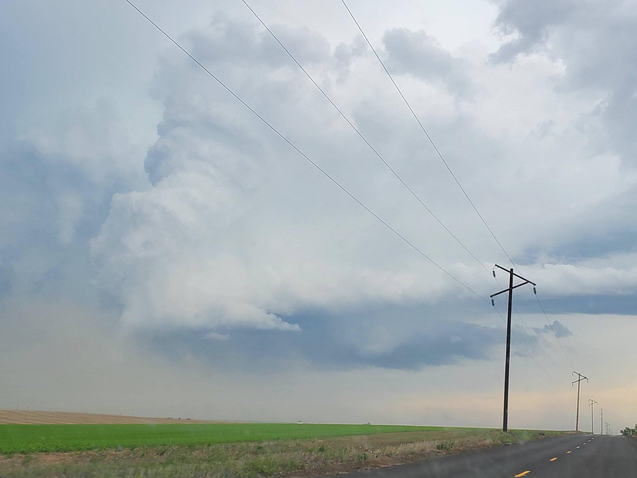
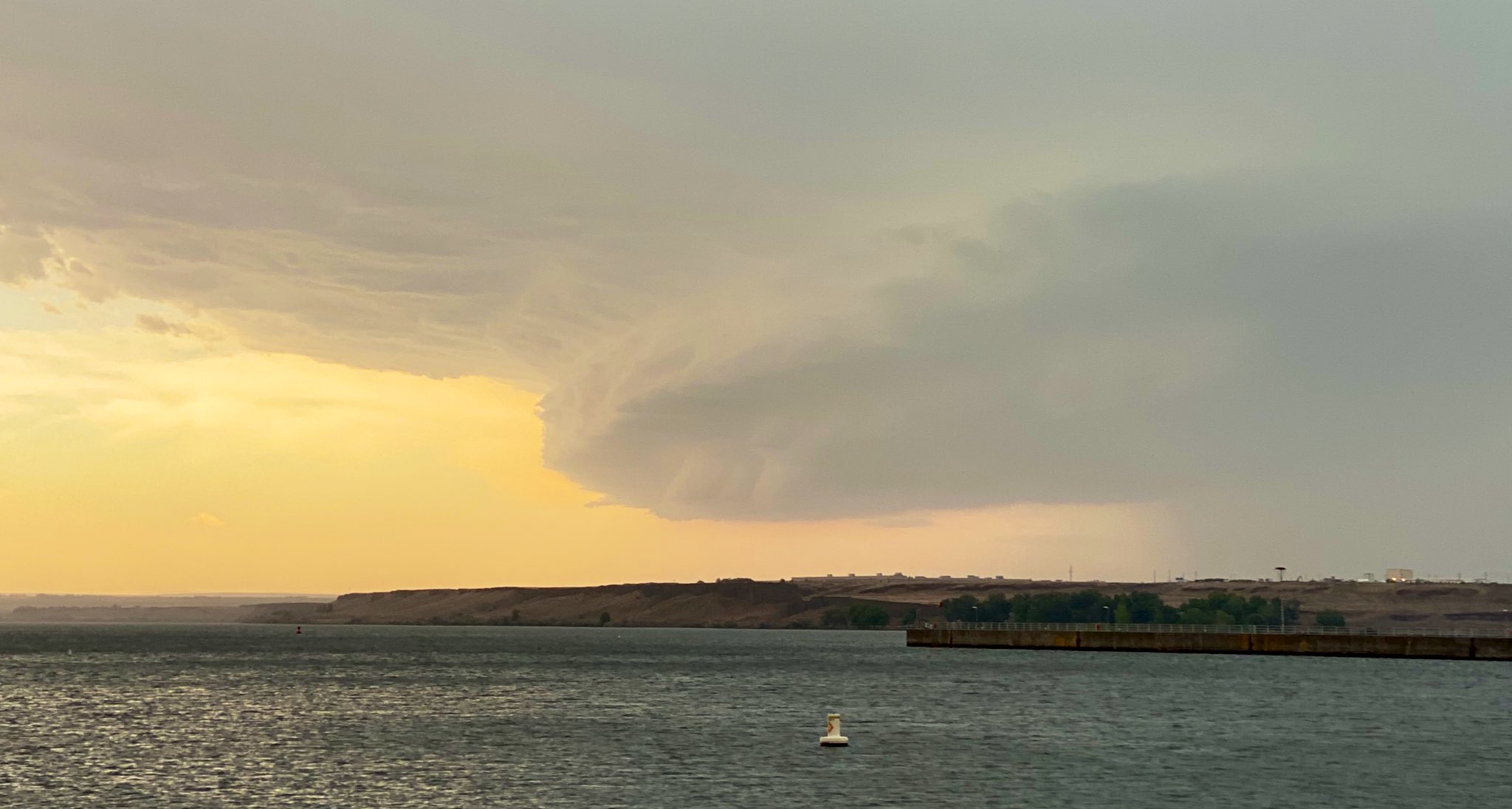
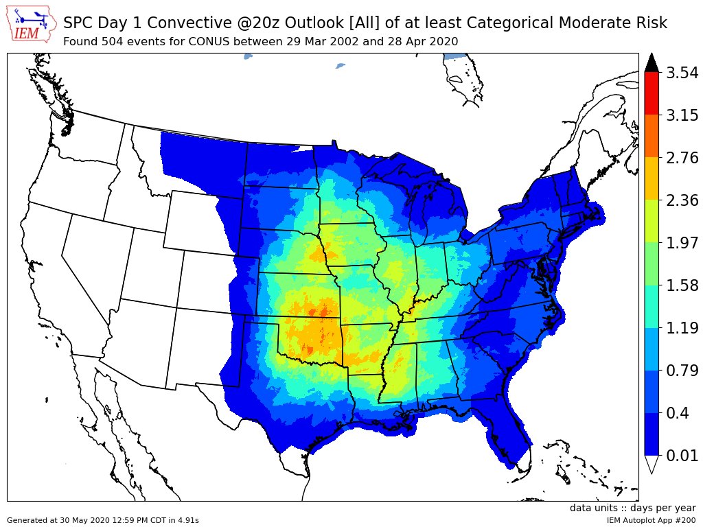
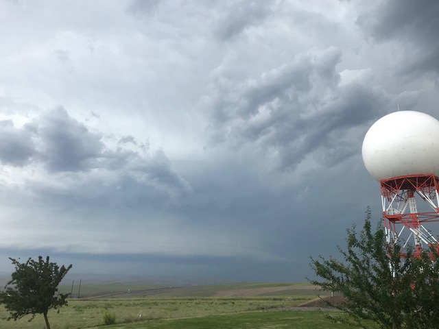
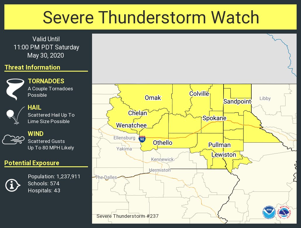
Stormtrack
05-30-2020_wa_or_id


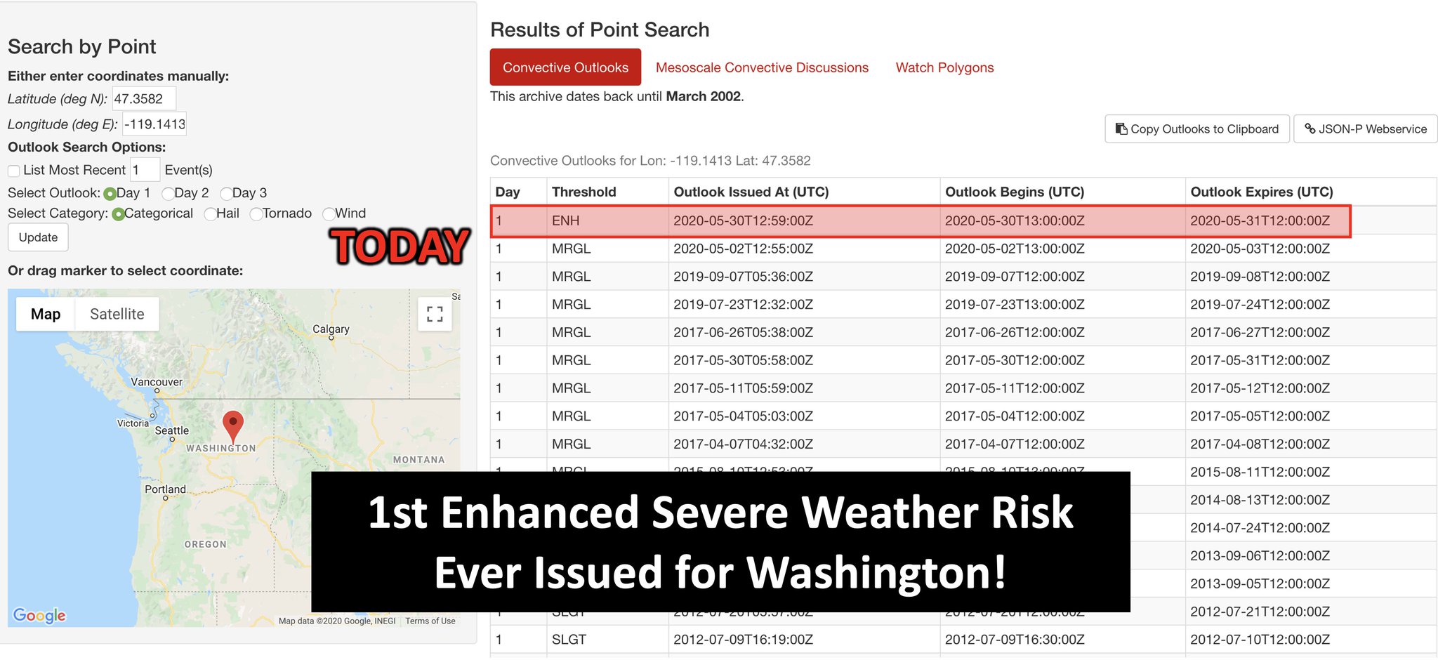


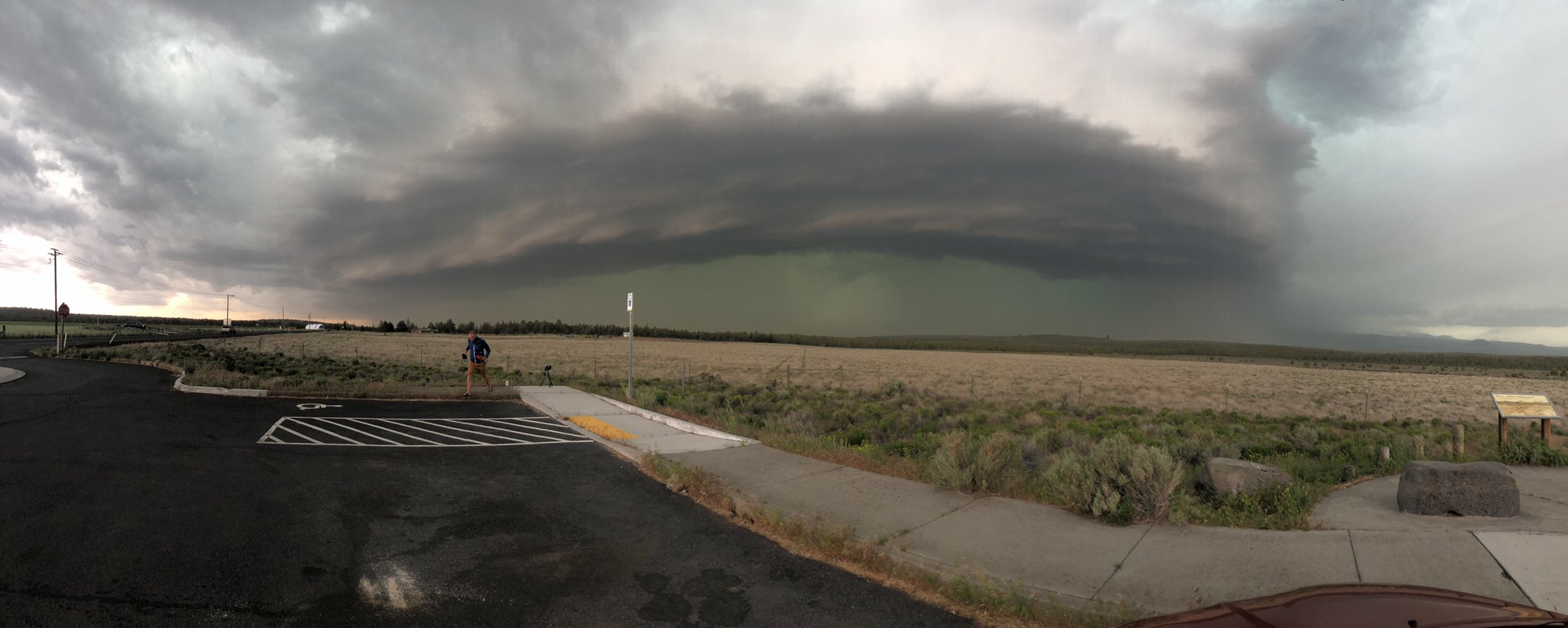
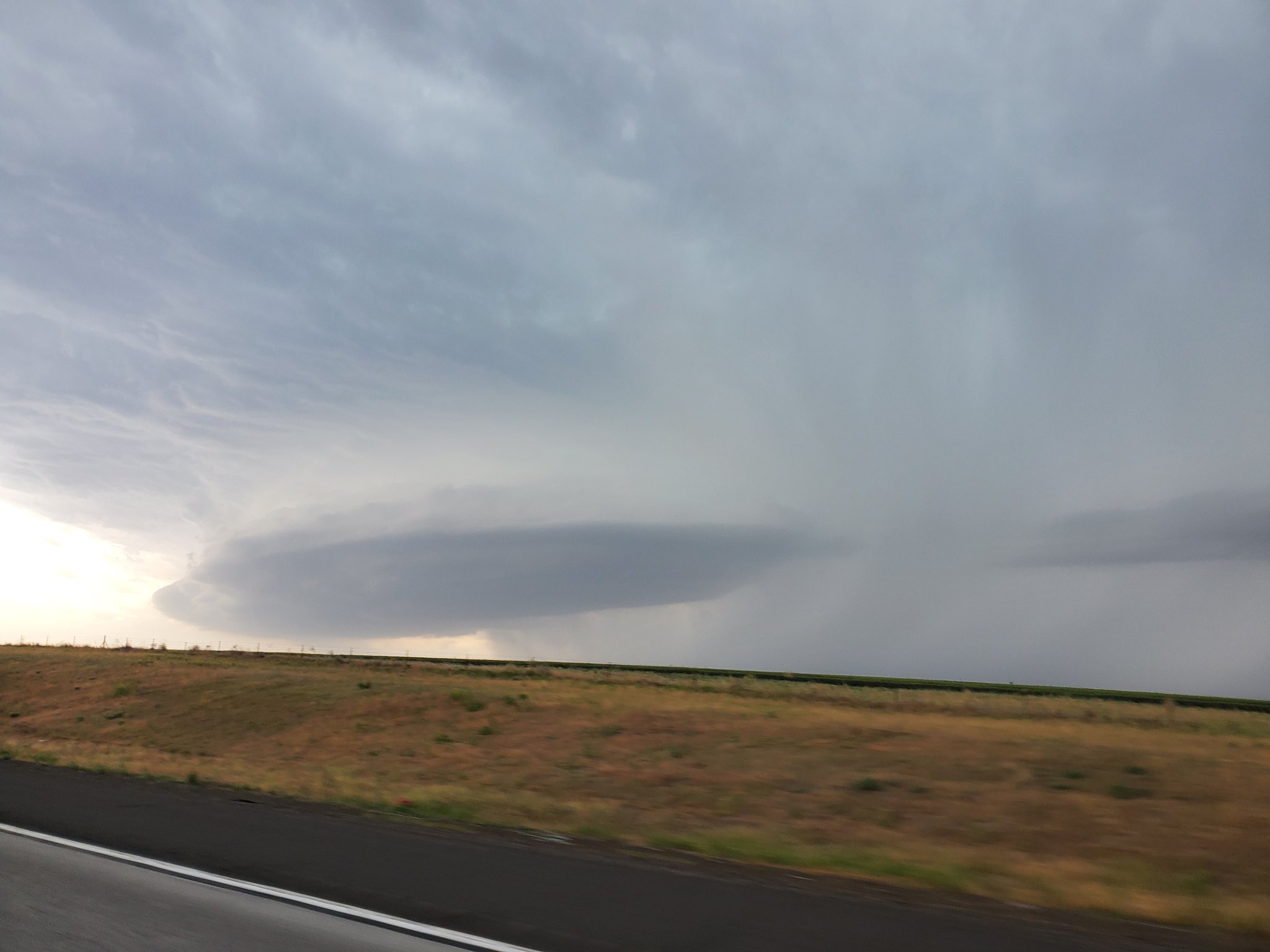
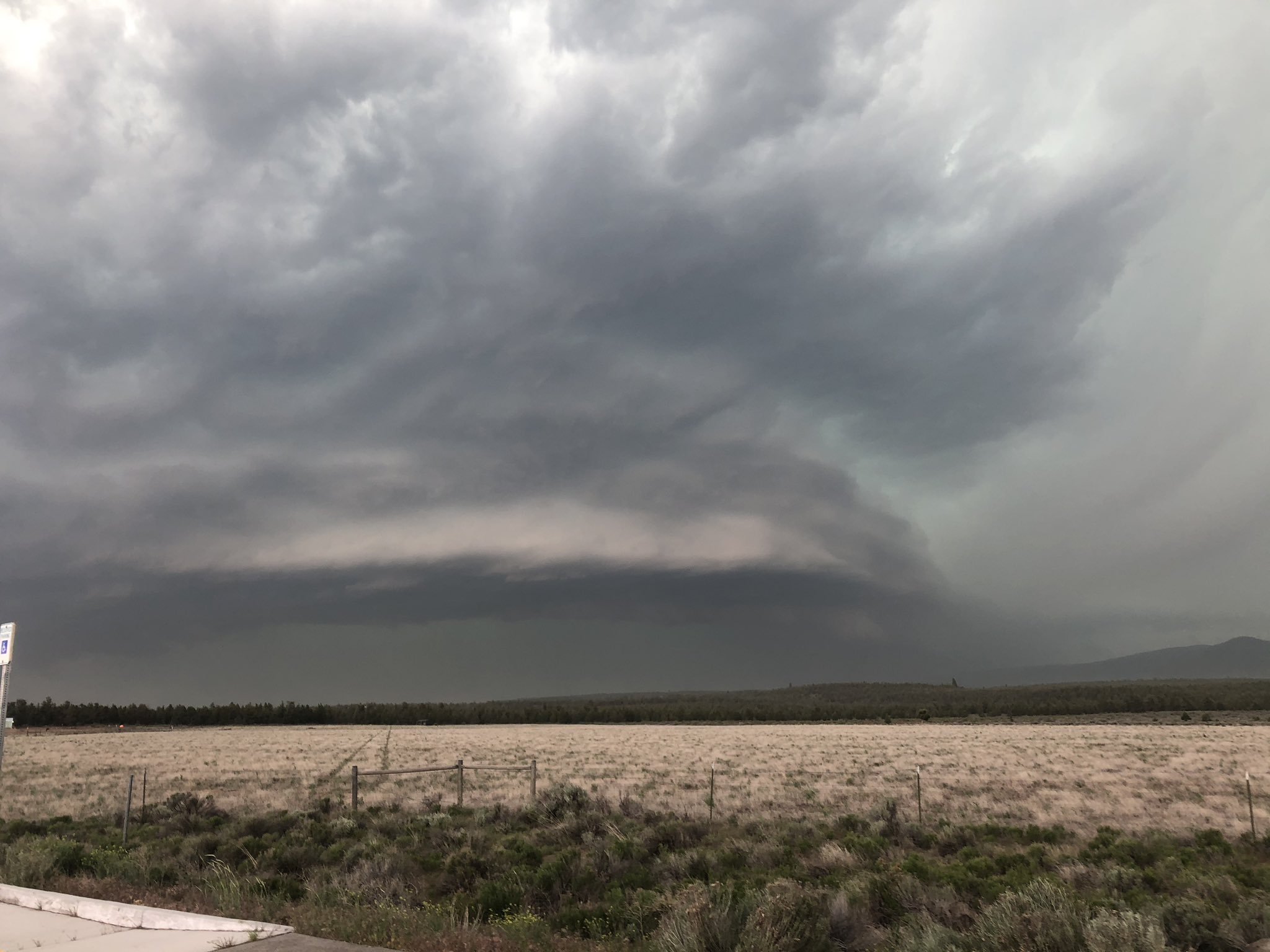
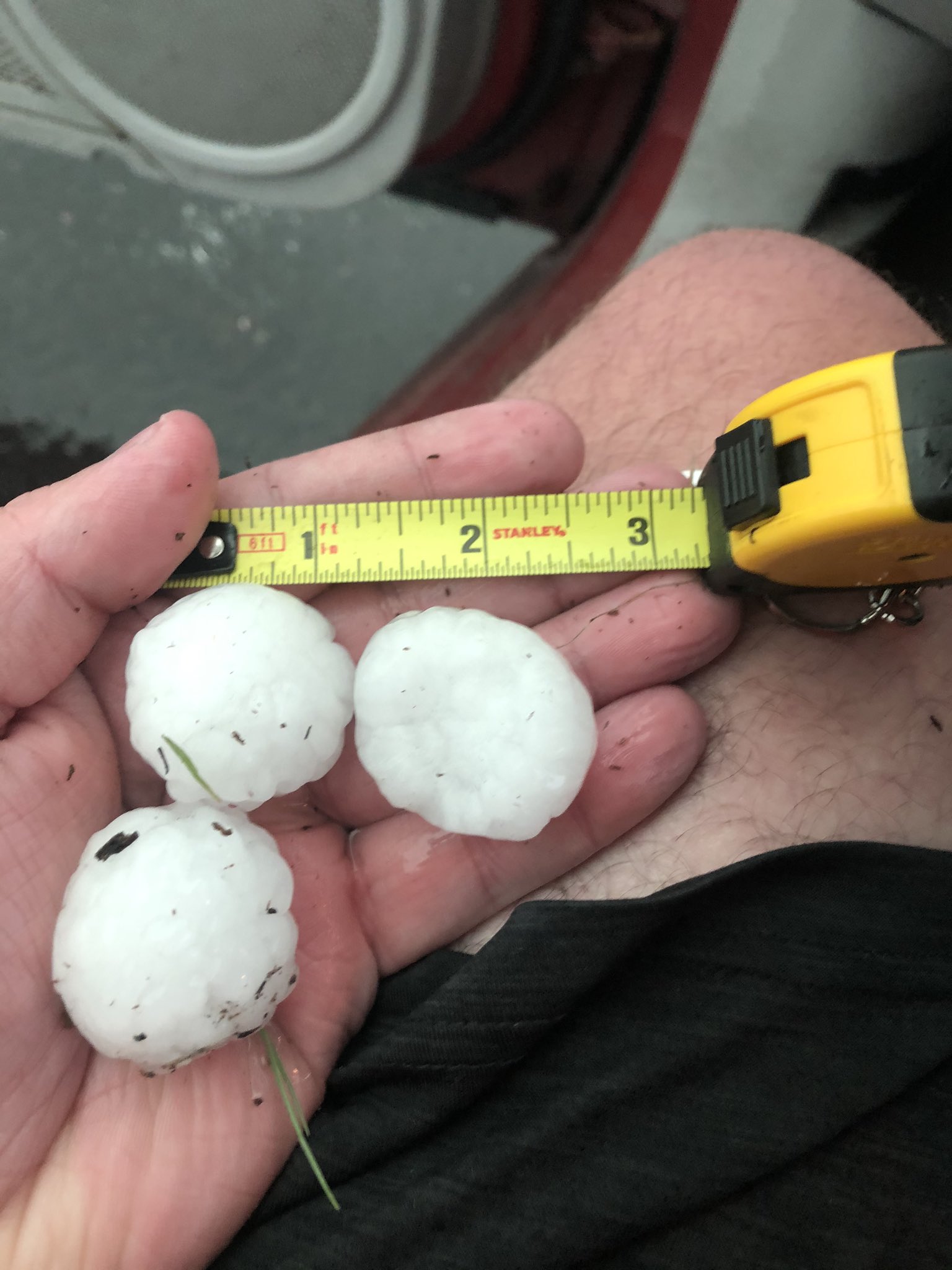
 1
1

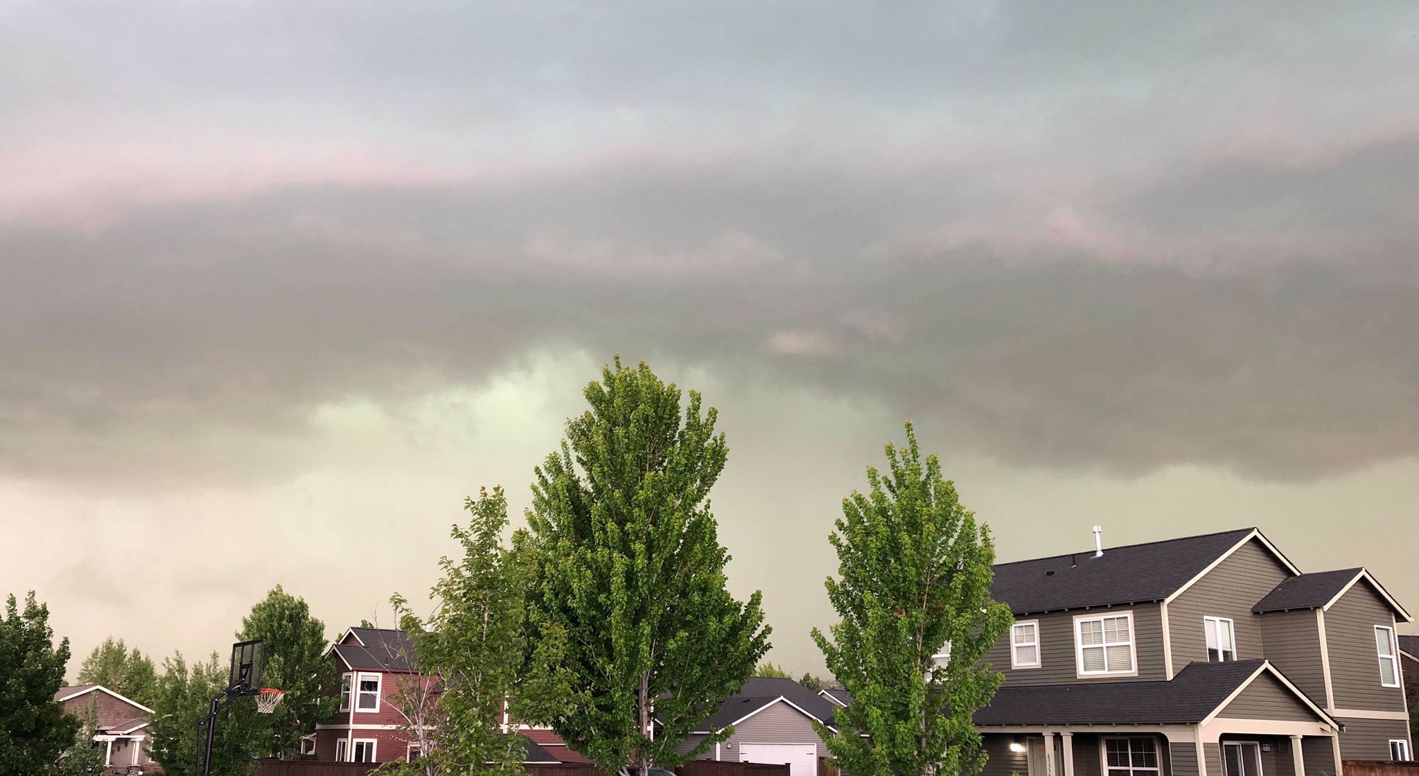


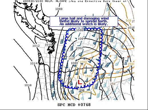
 2
2