Guild icon
Stormtrack
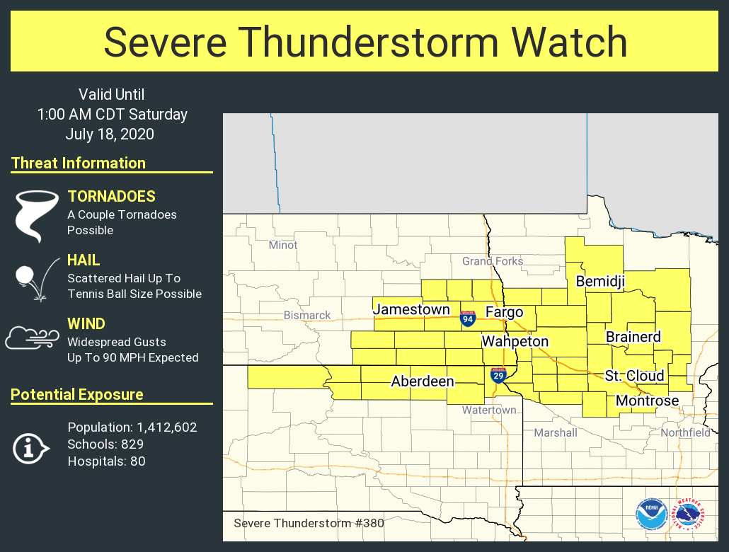
EVENT ARCHIVE / 07-17-2020_mn_nd_sd
Avatar
Glen Heinz (Greenville, SC) 16-Jul-20 01:53 PM
Open for Chasing.
Avatar
Palmer | CO 16-Jul-20 01:59 PM
Who all is chasing this one? I'm on my way through the area so I will be
Avatar
Cameron (Fortson, GA) 16-Jul-20 02:06 PM
7/17 and 7/18 lockitin, I'll be armchasing
Avatar
Joey Prom (Lafayette, IN) 16-Jul-20 07:06 PM
I unfotrunatly planned a trip out of town this weekend. RIP me... But I have gotten lots of opportunities over the past few weeks. I dont anticipate that changing
Avatar
Jacob Melton (Owosso, MI) 17-Jul-20 02:02 AM
Avatar
Sasha (Montreal, QC)🇨🇦 17-Jul-20 09:18 AM
MDT expanded well into central MN
derecho 4
Avatar
Palmer | CO 17-Jul-20 10:25 AM
I'm gonna cruise west-central ND during the discrete phase and then try and do the tail end charlie dance south as it scales up (edited)
Avatar
Jacob Melton (Owosso, MI) 17-Jul-20 11:50 AM
Issued at 1024 AM CDT Fri Jul 17 2020 Main concern will continue to be the threat for widespread severe thunderstorm damage. Confidence continues to increase for a derecho and significant wind damage. This is the reason for the SPC moderate risk, and environmental set up is very supportive. Main uncertainty still exists with initiation, which will likely occur on the northern edge of the instability/capping across north central North Dakota 3-5pm period. Latest guidance suggests this will be near or just west of the Devils Lake basin. Discrete mode will be favored (significant hail, wind, tornado) and want to make sure to get across that this would happen before the main show most everyone is concerned with.
-NWS Grand Forks
Avatar
Cameron (Fortson, GA) 17-Jul-20 12:38 PM
Make more room because MDT expanded into WI
QLCS go brr
derecho 3
Real derecho hours whose up
Avatar
Josh Zitko(Cimarron, NM/STL, MO) 17-Jul-20 12:55 PM
Bigass 5%
Avatar
Cameron (Fortson, GA) 17-Jul-20 01:08 PM
Only a little unstable
Hank 3
Avatar
Jacob Melton (Owosso, MI) 17-Jul-20 01:08 PM
Just slightly troll
Avatar
Cameron (Fortson, GA) 17-Jul-20 01:09 PM
troll 
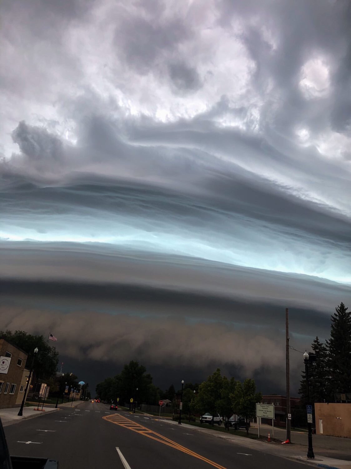
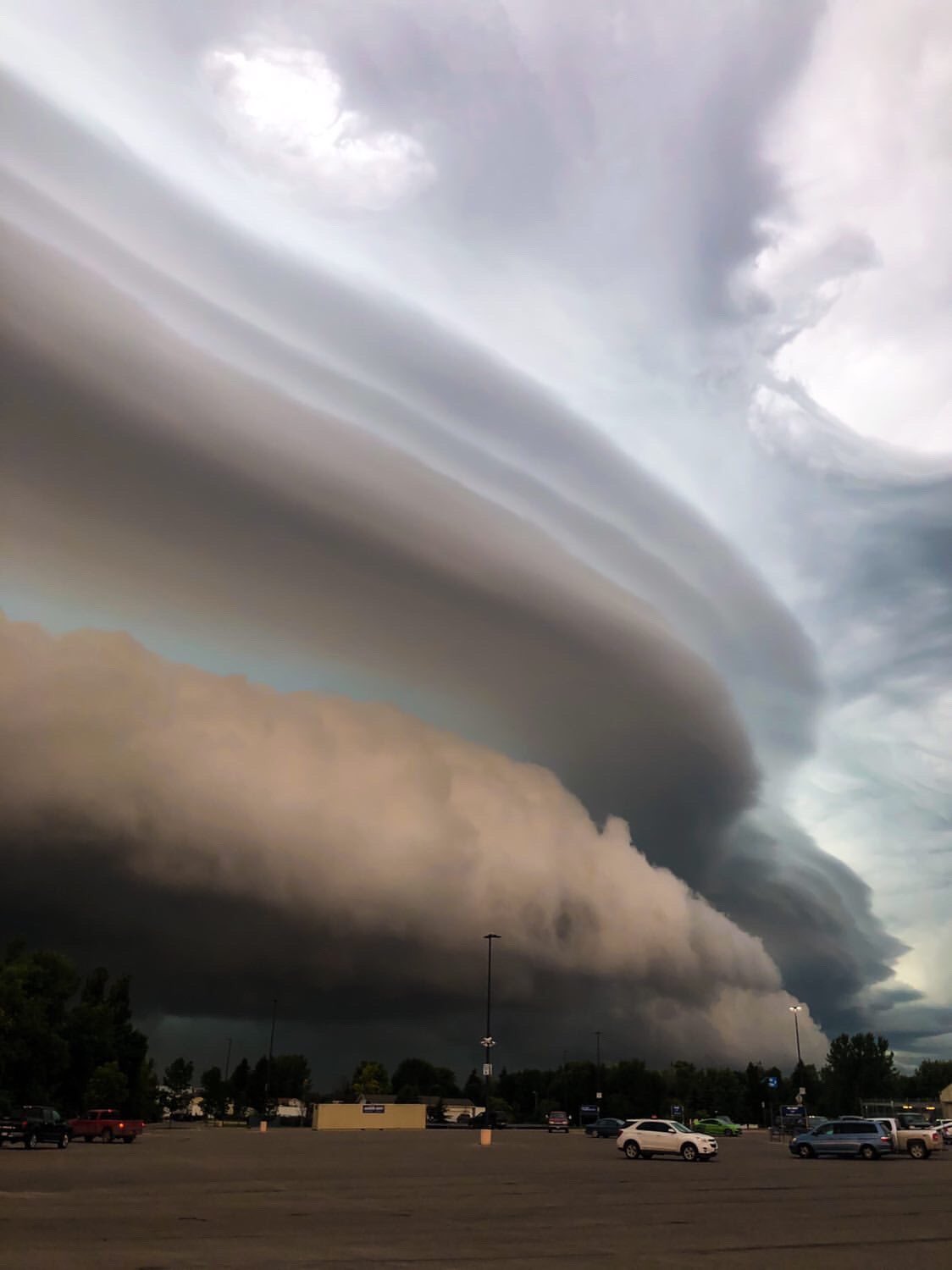
Only a little bit of mixedlayer guys
Avatar
Palmer | CO 17-Jul-20 02:01 PM
Roll call who's all up here
Avatar
Glen Heinz (Greenville, SC) 17-Jul-20 04:00 PM
Yep it's time for these to start rolling in.
Avatar
Cameron (Fortson, GA) 17-Jul-20 06:34 PM
Dryline is a poweder keg with a lil' dryline bulge there, backing of SFC winds evident near Bismarck too. Already got nearly 50kft tops right off initiation, Boiling pot, like 8,000 SBCAPED modifying RAP soundings to current OBS
Avatar
Jacob Melton (Owosso, MI) 17-Jul-20 06:45 PM
A severe thunderstorm watch has been issued for parts of Minnesota, North Dakota and South Dakota until 1 AM CDT
Avatar
Palmer | CO 17-Jul-20 07:02 PM
Screenshot (Jul 17, 2020 6:01:42 PM)
Avatar
Cameron (Fortson, GA) 17-Jul-20 07:09 PM
Troughs, drylines, WF and CF's
Avatar
Cameron (Fortson, GA) 18-Jul-20 01:46 AM
Daunting shelf cloud moving into Thief River Falls, Minnesota this evening! Photos sent in by: Bree Hamilton #weather #stormhour #mnwx #storm
Likes
278
Avatar
Glen Heinz (Greenville, SC) 18-Jul-20 07:11 AM
That’s pretty fricken kewl!
Exported 28 message(s)