Stormtrack
EVENT ARCHIVE / 03-18-2021_ga_sc_nc_va


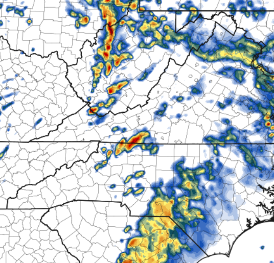
 #vawx #ncwx
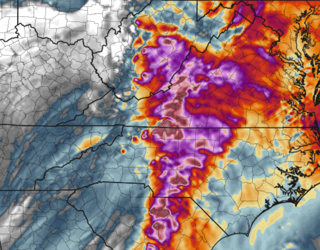


 5
5


 3
3


