Stormtrack
EVENT ARCHIVE / 2021_hurricane-elsa


 Cody D. (Lincoln, NE - UNL)
 Pat Kepka (Russell Co. KS)


") Cameron (KMXX | GA)
Cameron (KMXX | GA)


")
 1
1
")
 Norman Smith (Racine, OH)

 ♂️
♂️
")

 Joey Prom (Lafayette, IN)

 1
1
") Norman Smith (Racine, OH)
Norman Smith (Racine, OH)
")
")
")
")
") Norman Smith (Racine, OH)
Norman Smith (Racine, OH)


")


") 1
1
")
")

")
")
")
")
 1
1


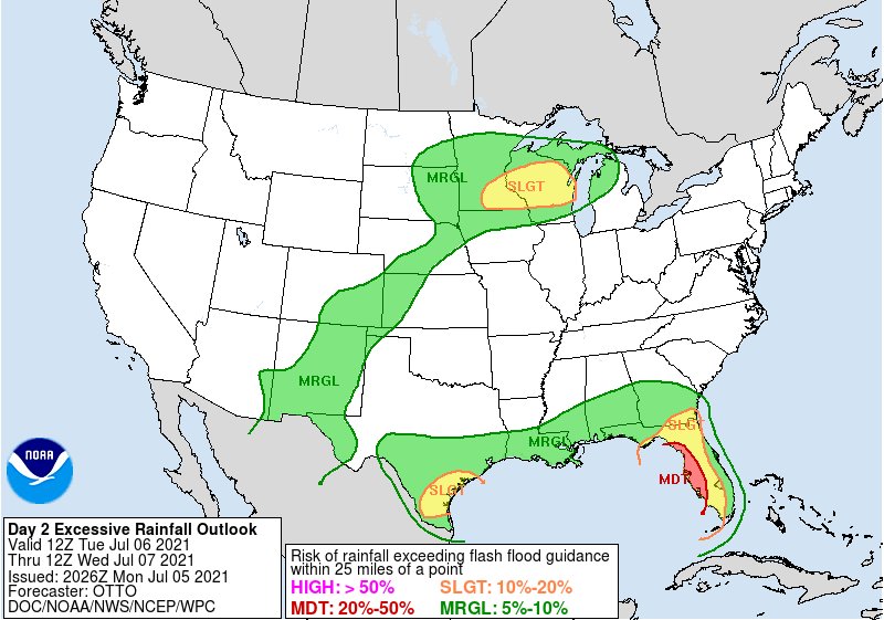
 Trends worth watching
https://t.co/qFBvJYoWvQ
Ed Tierney (Oak Lawn, IL)
Trends worth watching
https://t.co/qFBvJYoWvQ
Ed Tierney (Oak Lawn, IL)
 ️
️ ️
️ ️
Cortesía: Redes Sociales
#Elsa #TormentaElsa #tormentatropical #Cuba https://t.co/yzFpnj9tXe
️
Cortesía: Redes Sociales
#Elsa #TormentaElsa #tormentatropical #Cuba https://t.co/yzFpnj9tXe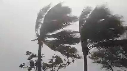
")
")
")

 Royce Sheibal (Papillion,NE)

")
") Royce Sheibal (Papillion,NE)
Royce Sheibal (Papillion,NE)
 Royce Sheibal (Papillion,NE)
 1
1
") Royce Sheibal (Papillion,NE)
Royce Sheibal (Papillion,NE)
")
")

")
 2
2
 Zack Fuller (Long Island, NY)
Royce Sheibal (Papillion,NE)
Norman Smith (Racine, OH)
4
Zack Fuller (Long Island, NY)
Royce Sheibal (Papillion,NE)
Norman Smith (Racine, OH)
4

")
")
")
 Matthew Harding (Wichita, KS)
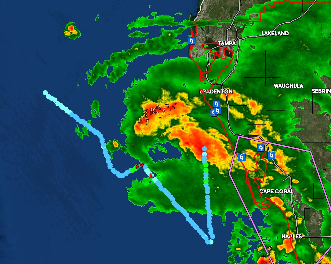
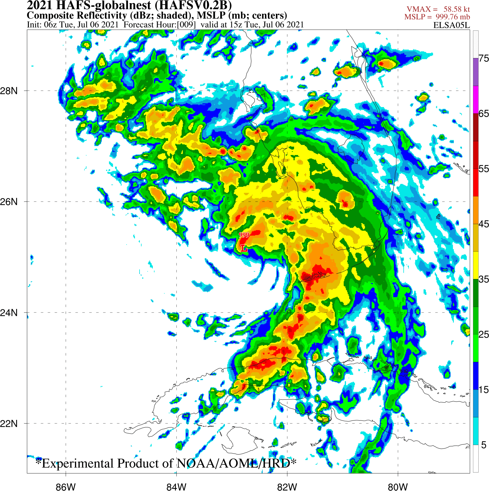
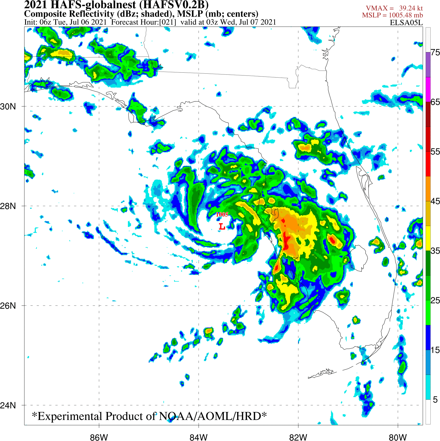
Ian J. (Palm Beach County, FL)
Matthew Harding (Wichita, KS)
Ian J. (Palm Beach County, FL)
")

 1
1
 2
2
")

")

 3
3
 1
5
1
5